
Urbanie & Urbanus

Issue 8, P. - P.
Figures
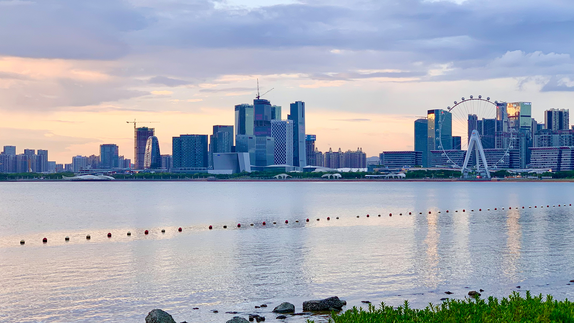
Figure 1. Qianhai Bay, Shenzhen

Figure 2. A not-so-good water feature in reality
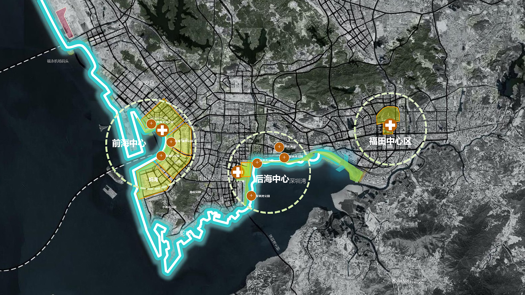
Figure 3. Waterward drift of the centre of Shenzhen
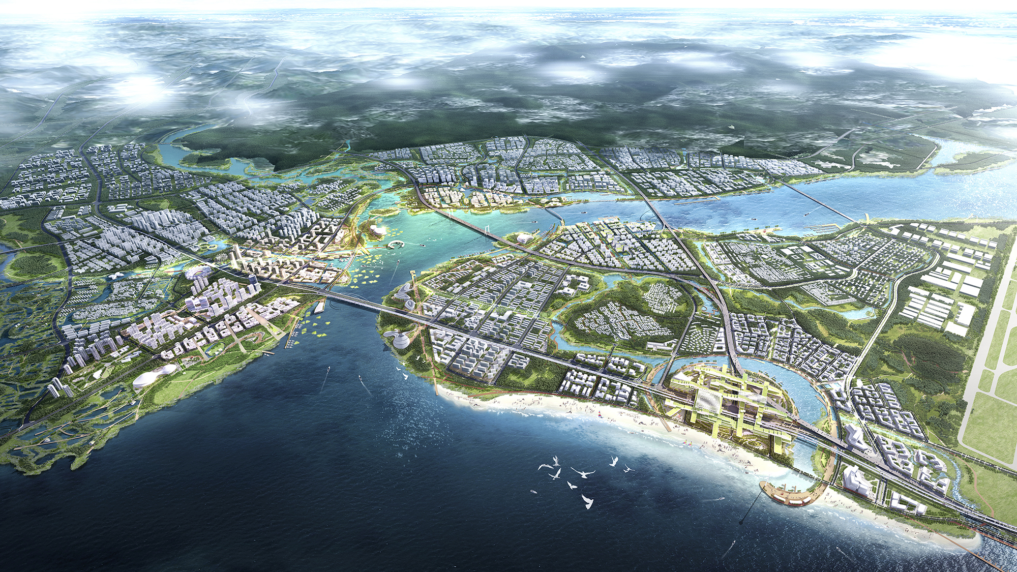
Figure 4. Xiamen New Airport Area Urban Design Scheme
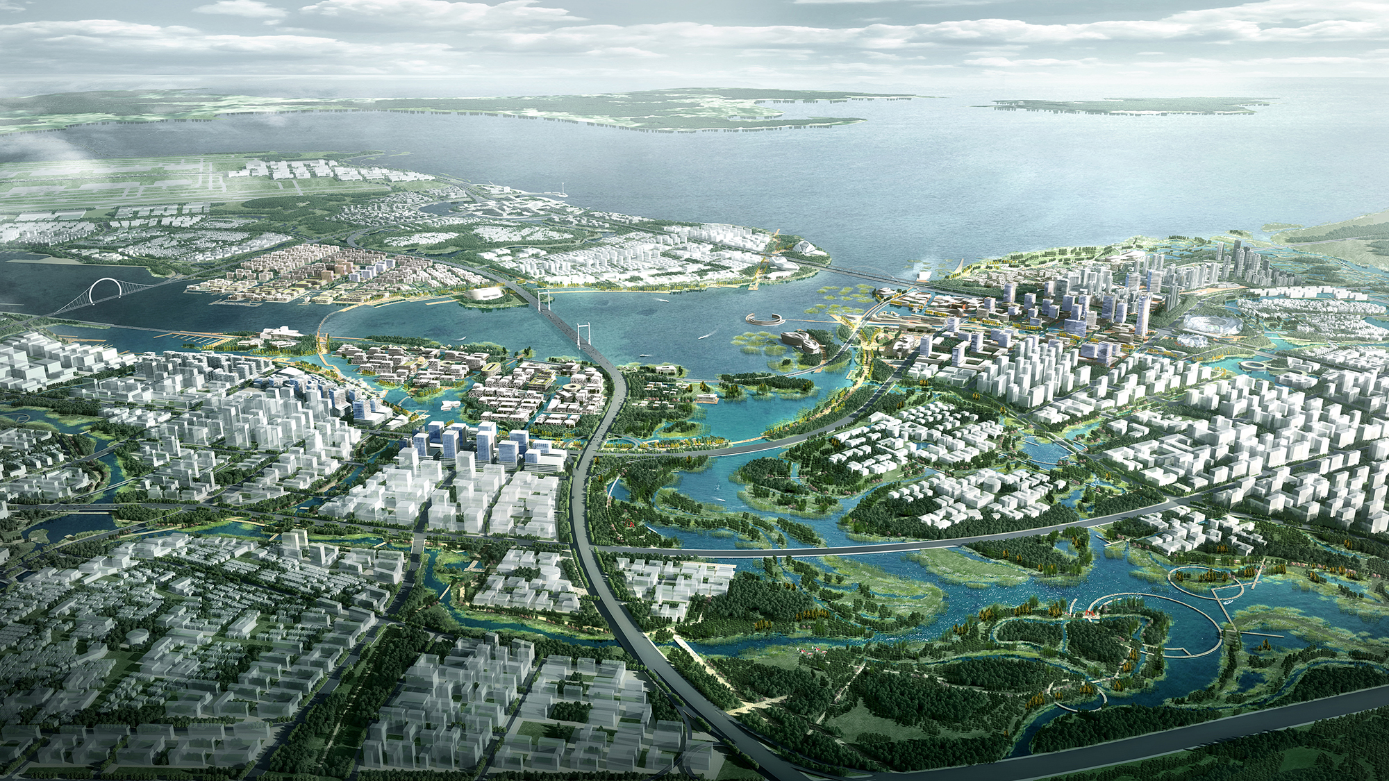
Figure 5. Xiamen New Airport Area Urban Design Scheme
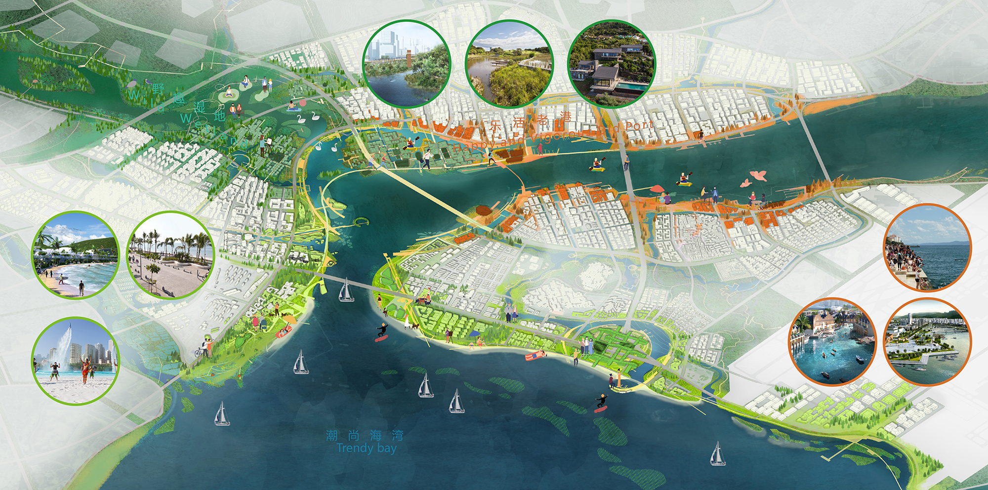
Figure 6. Conceptual diagram
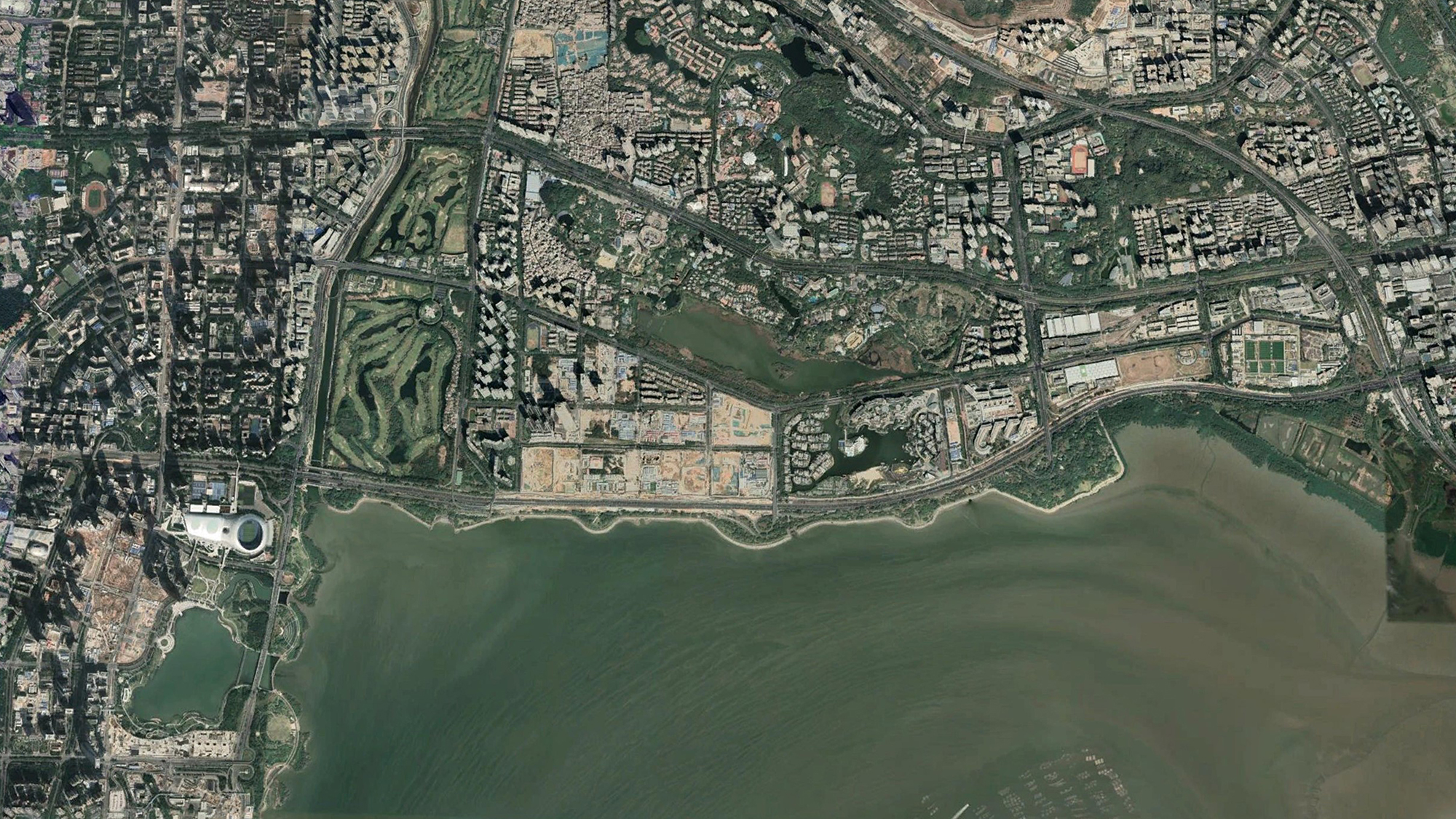
Figure 7. Design of relatively straight Shenzhen Bay shoreline due to road construction and flood defence requirements
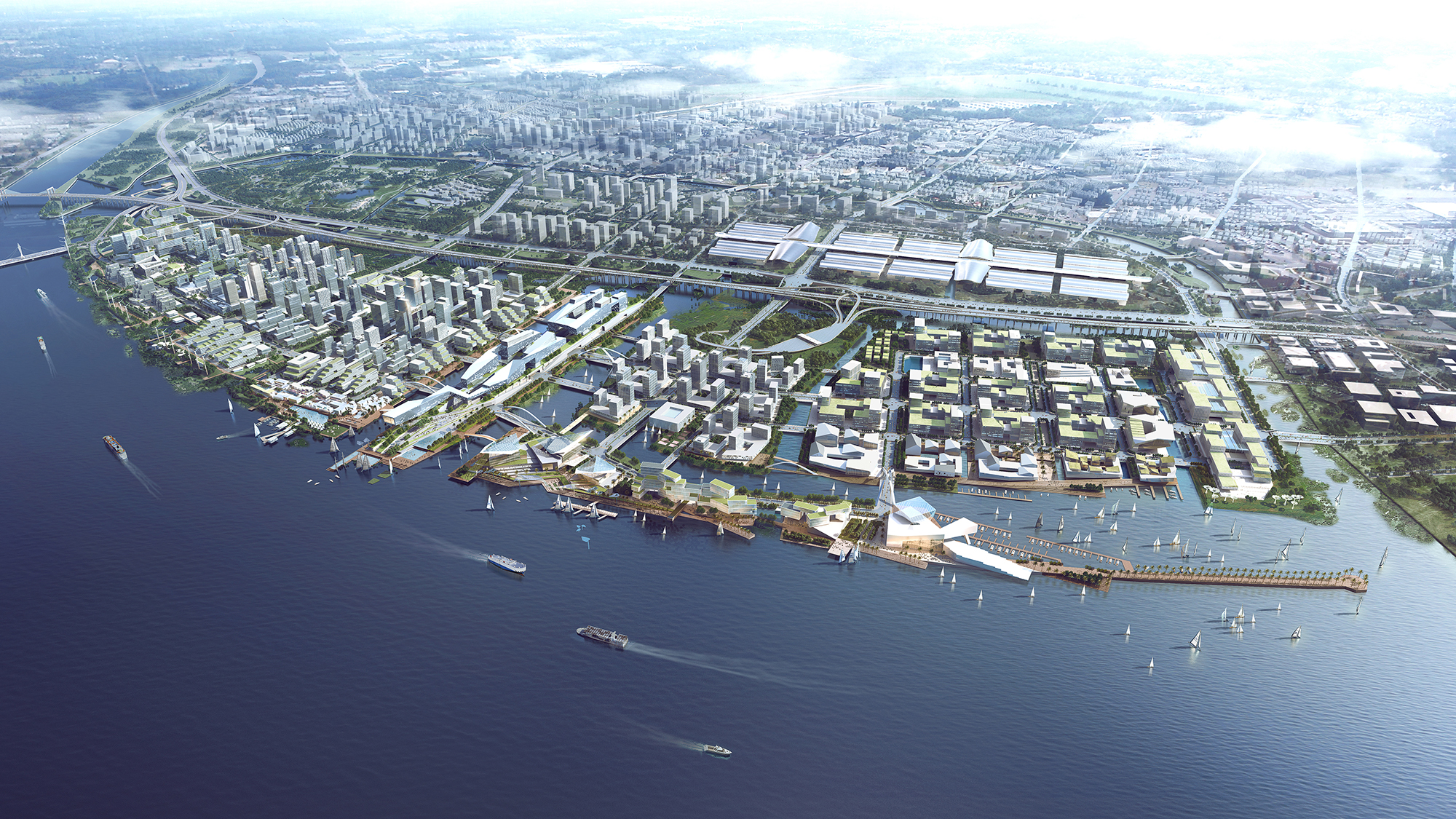
Figure 8. Shenzhen Ocean New Town Urban Design Scheme
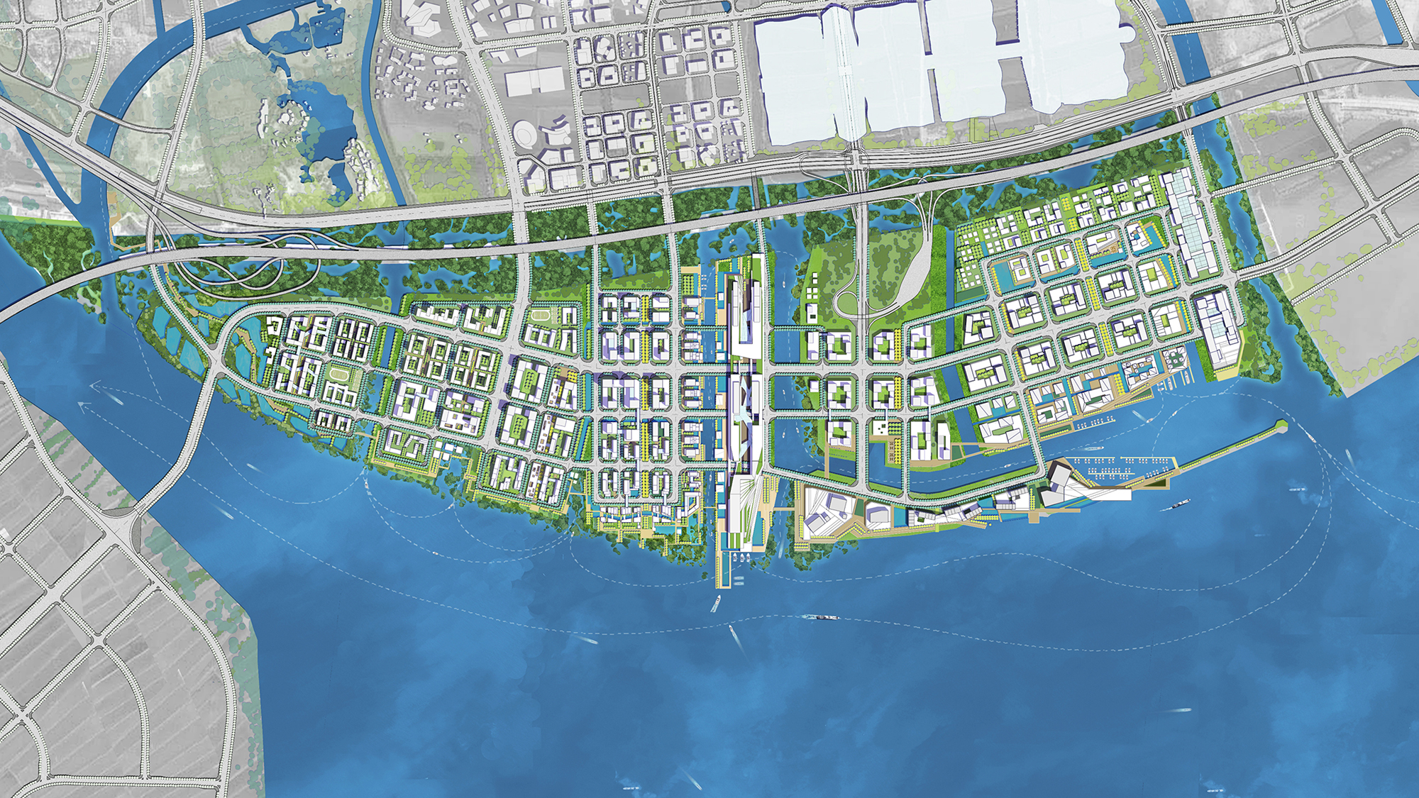
Figure 9. Master Plan of Shenzhen Ocean New Town Urban Design Scheme
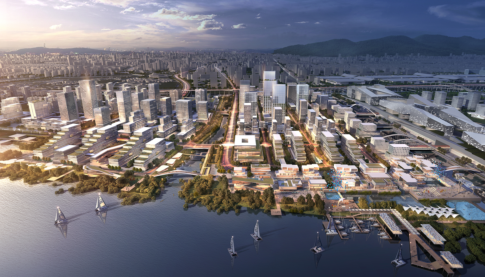
Figure 10. Connected Water Corridors
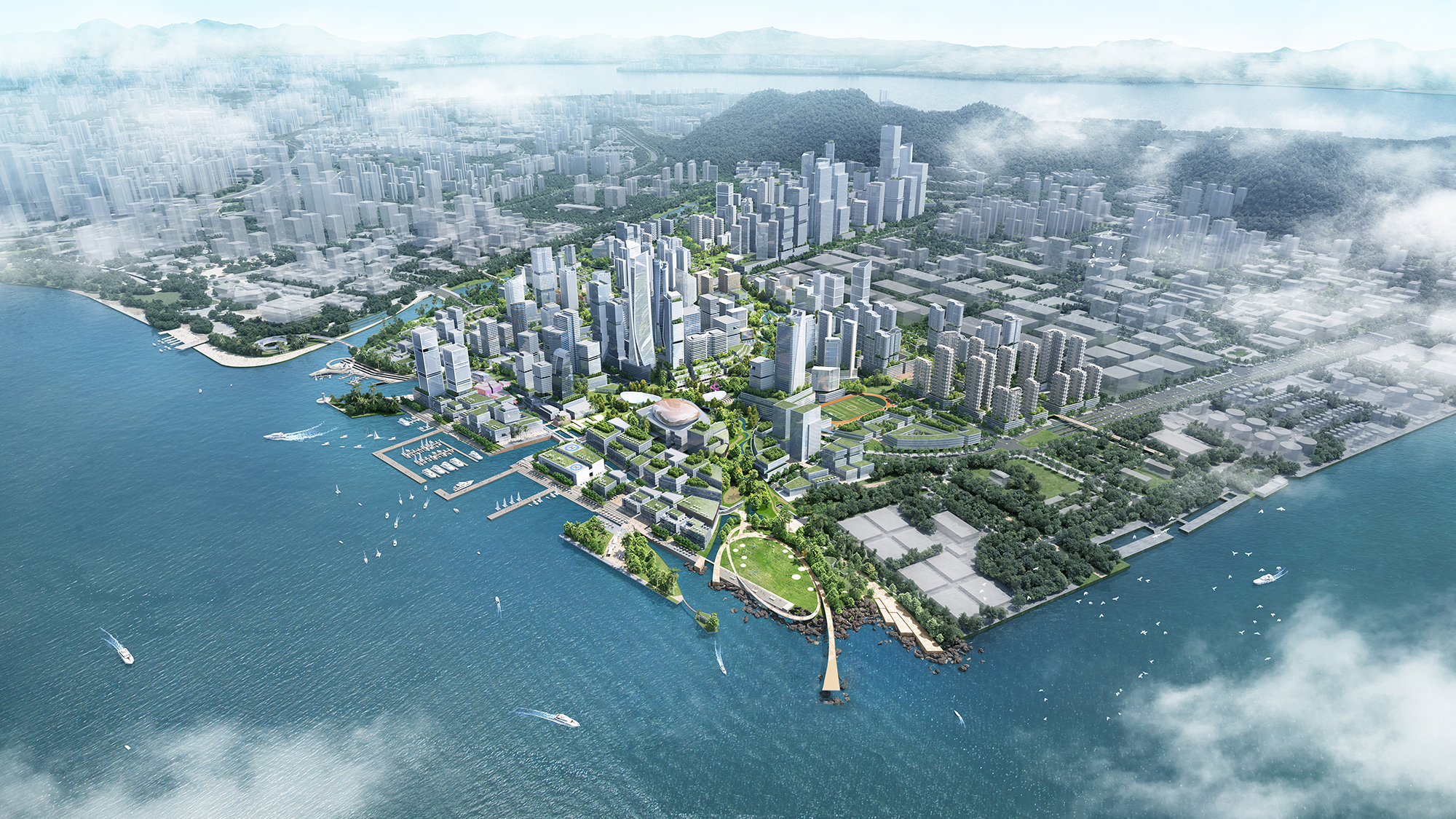
Figure 11. Ma Wan Area Urban Design Scheme
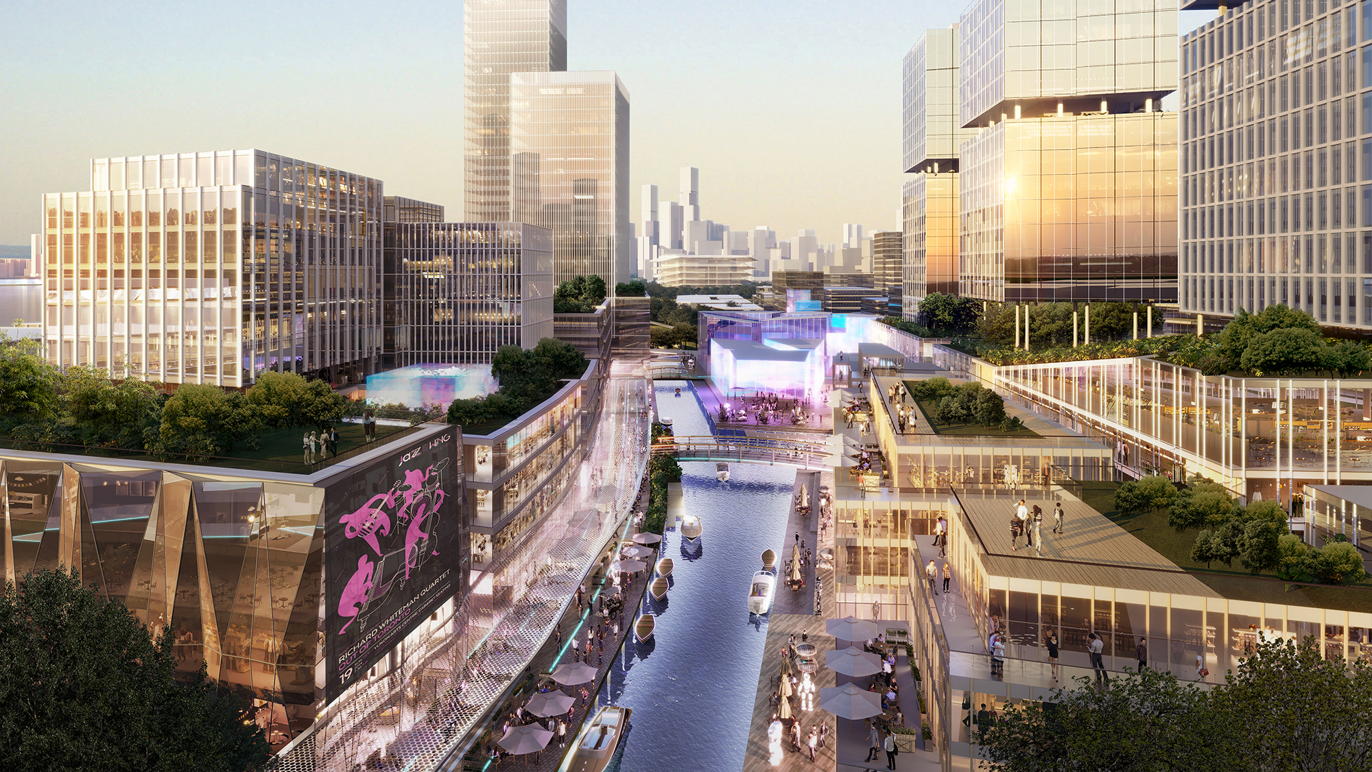
Figure 12. Water Street leading into the inner city
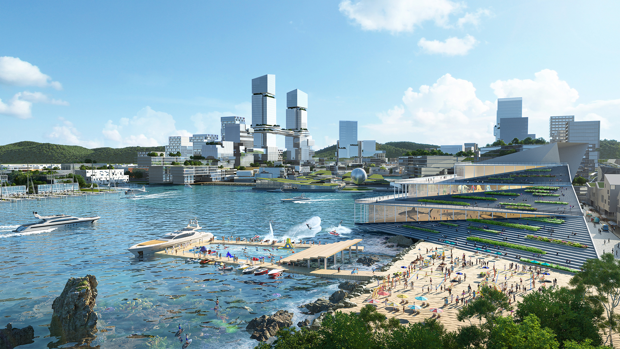
Figure 13. Yuhuan New City Sea Gateway
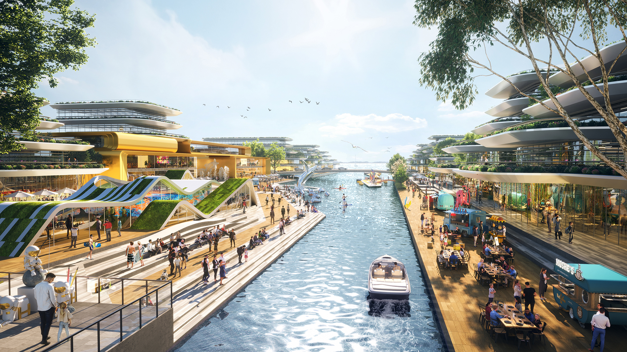
Figure 14. Yuhuan New Town Vibrant Water Street
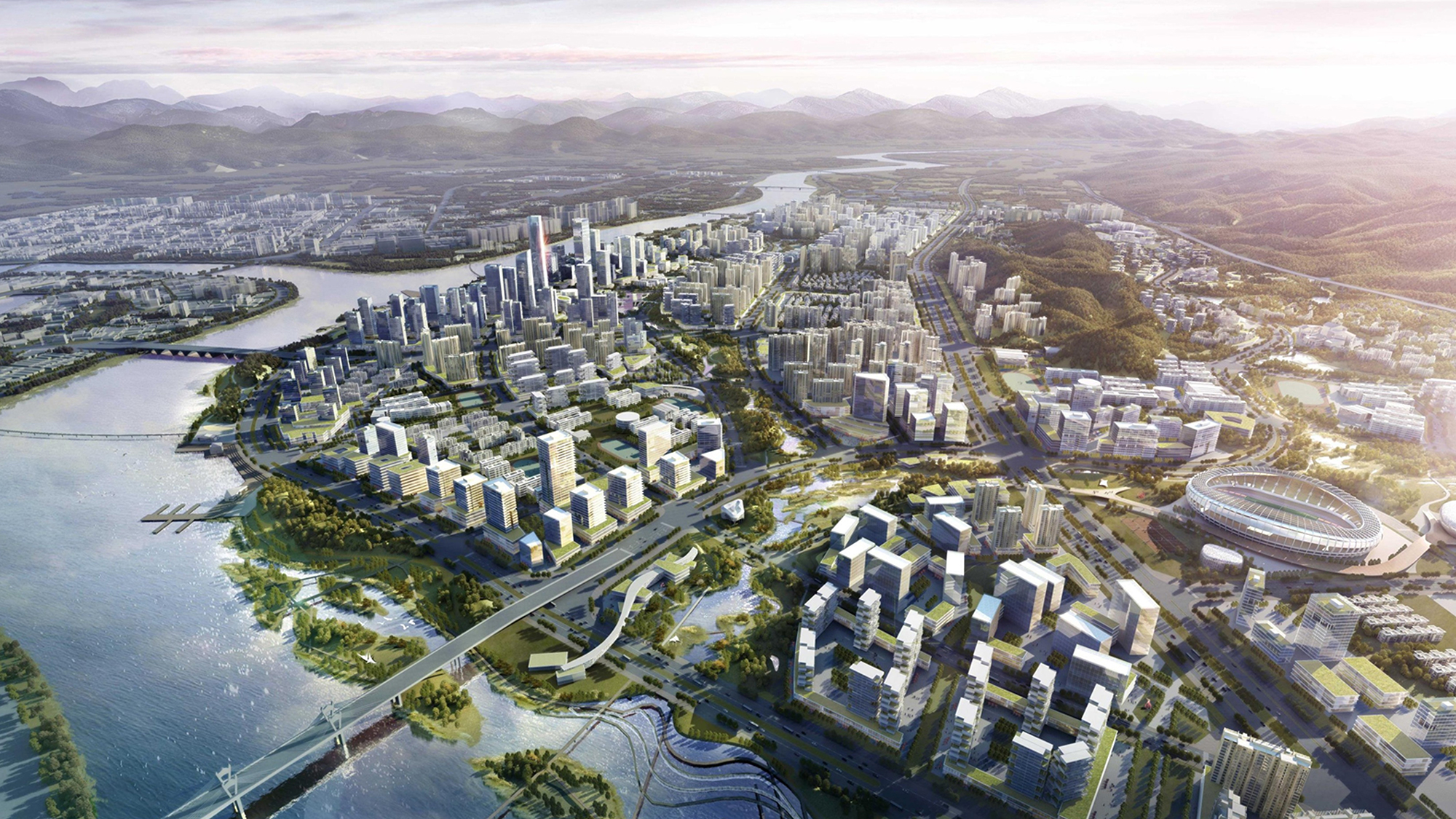
Figure 15. Jiangdong New District Urban Design Scheme
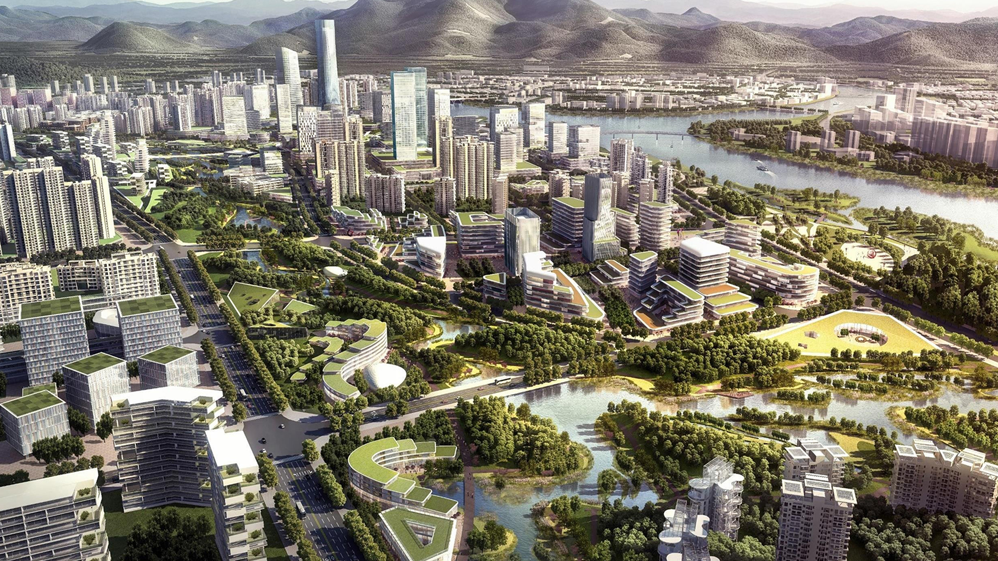
Figure 16. River in the community
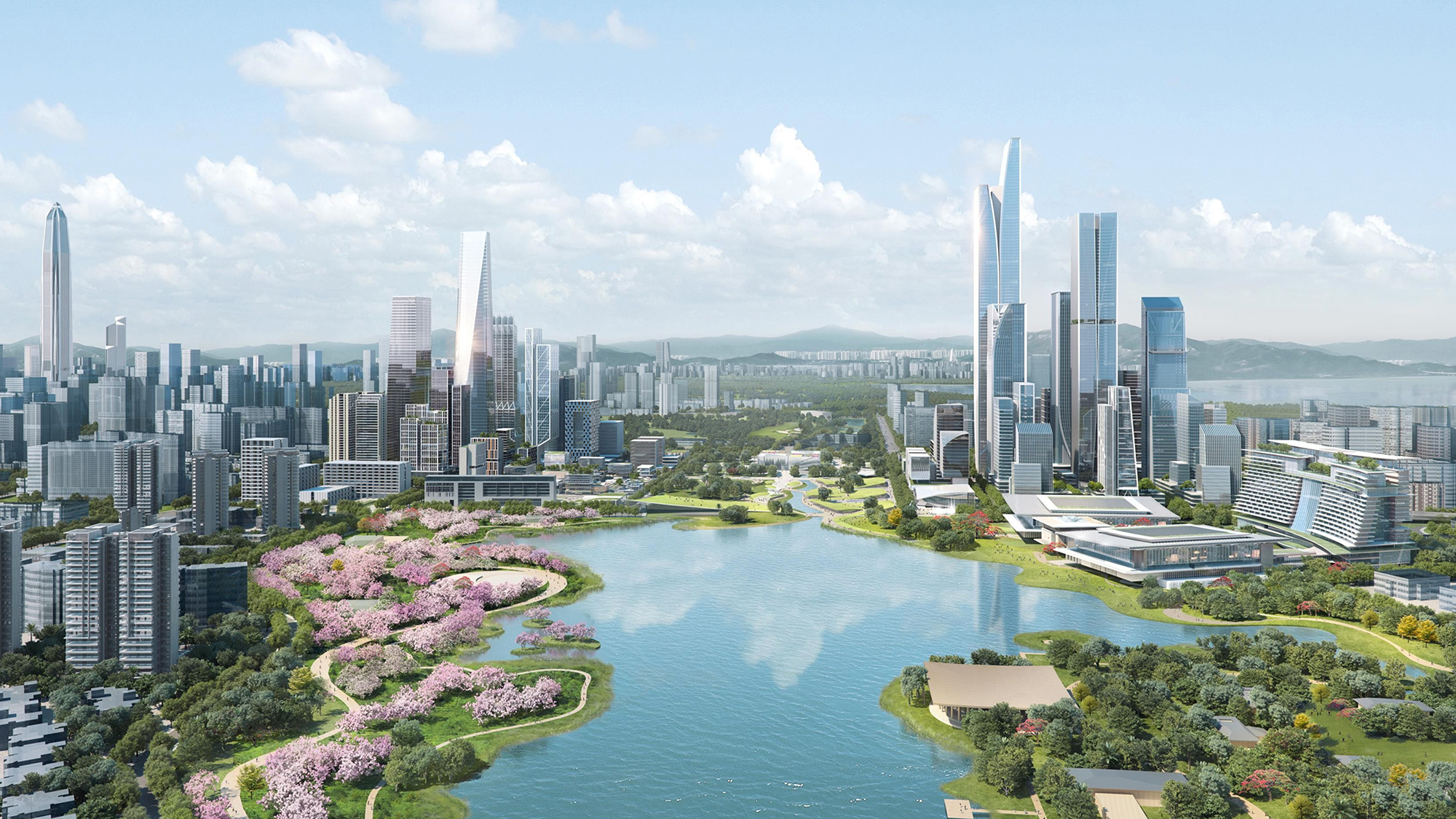
Figure 17. Xiangmi Lake Area Urban Design Scheme
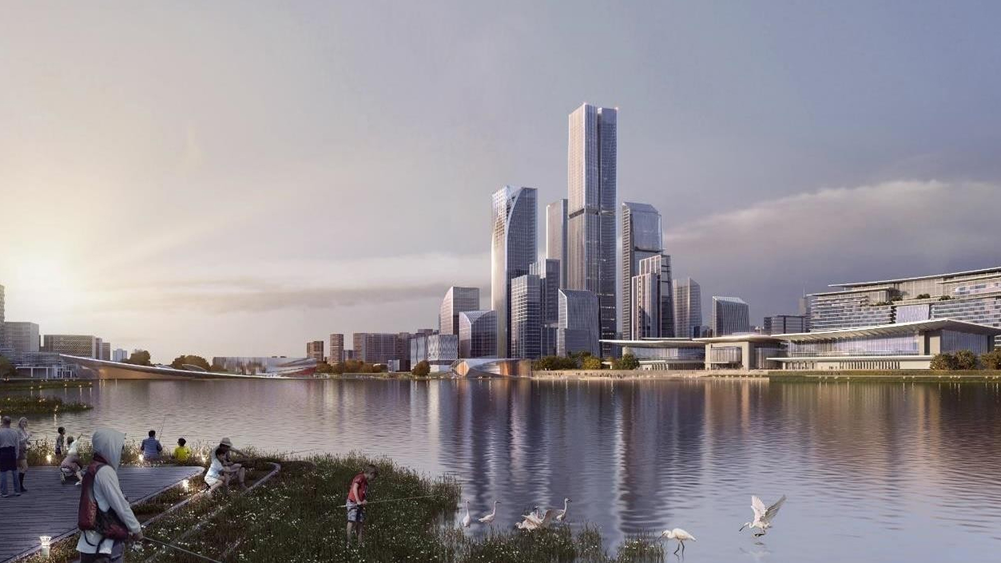
Figure 18. Charming scene with both tall buildings and small waterfowl
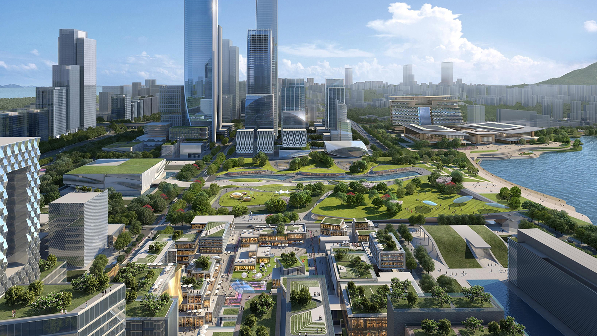
Figure 19. Super Park with Complex Culture, Commerce and Other Functions
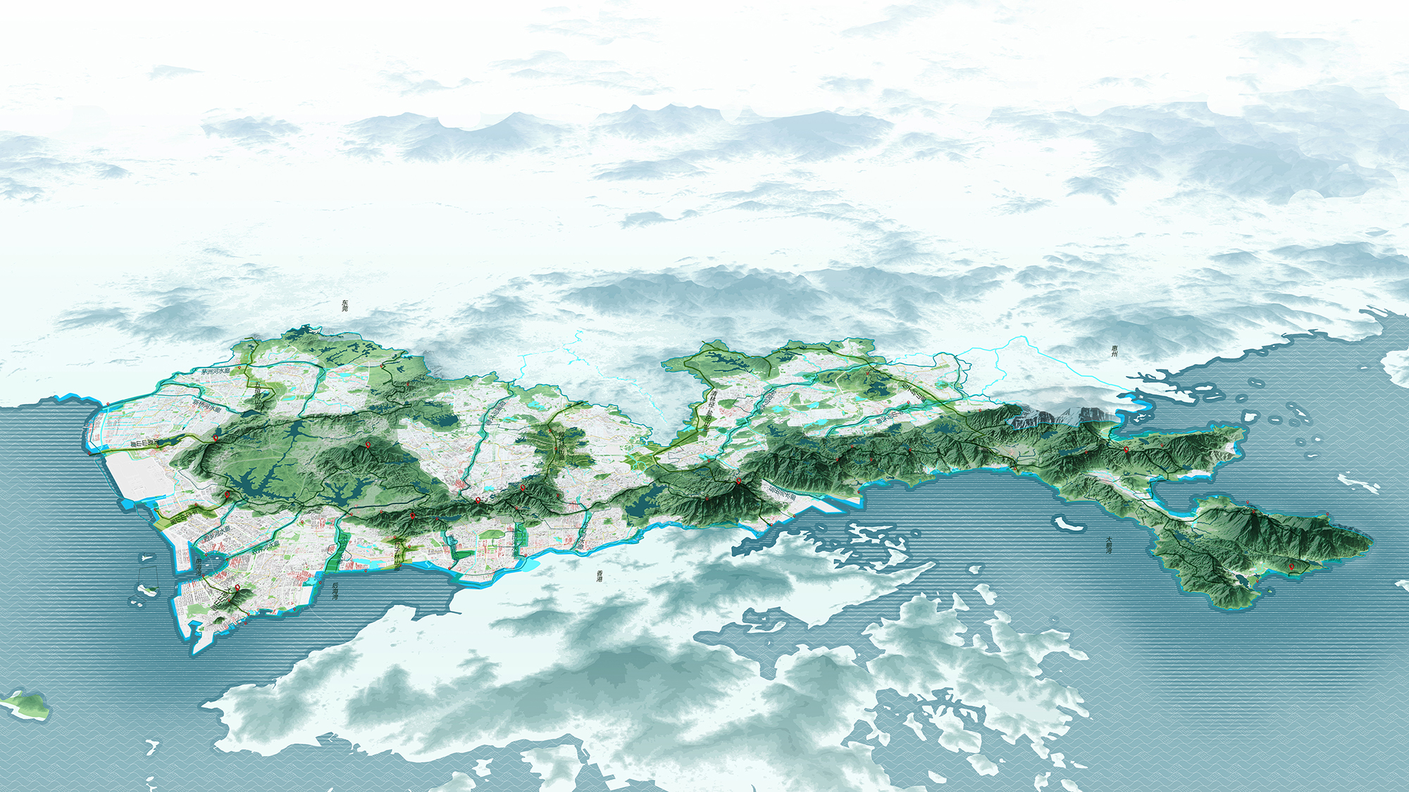
Figure 20. Overall effect of the Shenzhen Mountain-Sea- City Connection Plan
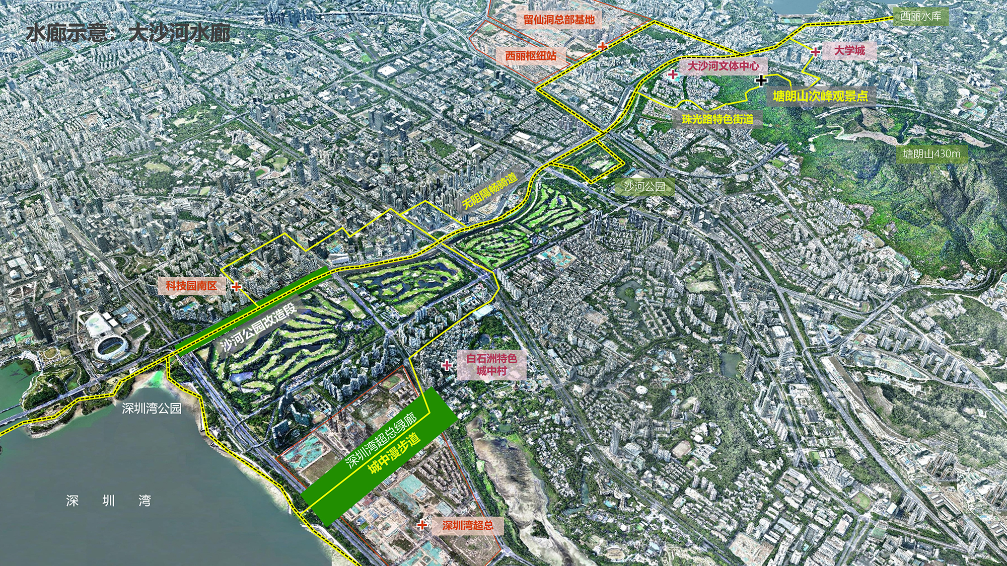
Figure 21. Schematic of the Dasha River Water Corridor
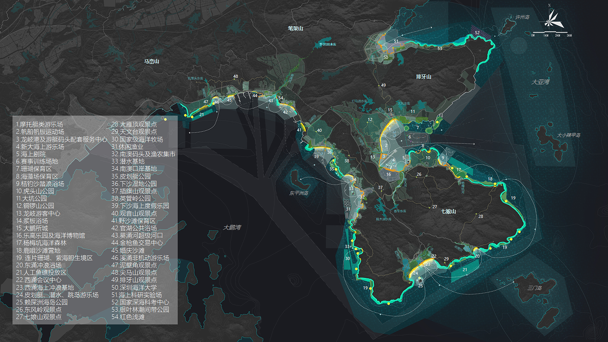
Figure 22. Dapeng New District Coastal Zone Planning Masterplan
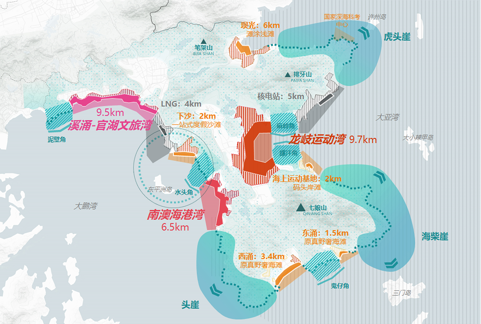
Figure 23. Overall Structure of the Dapeng New District Coastal Zone Plan
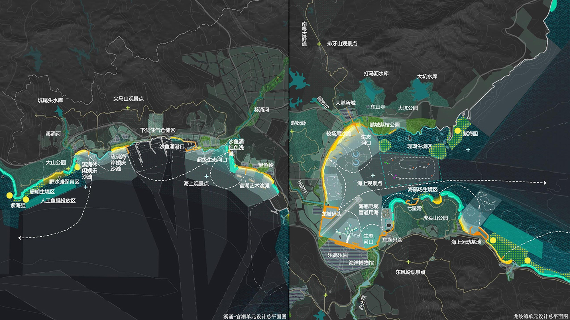
Figure 24. Shoreland Unit Design Masterplan
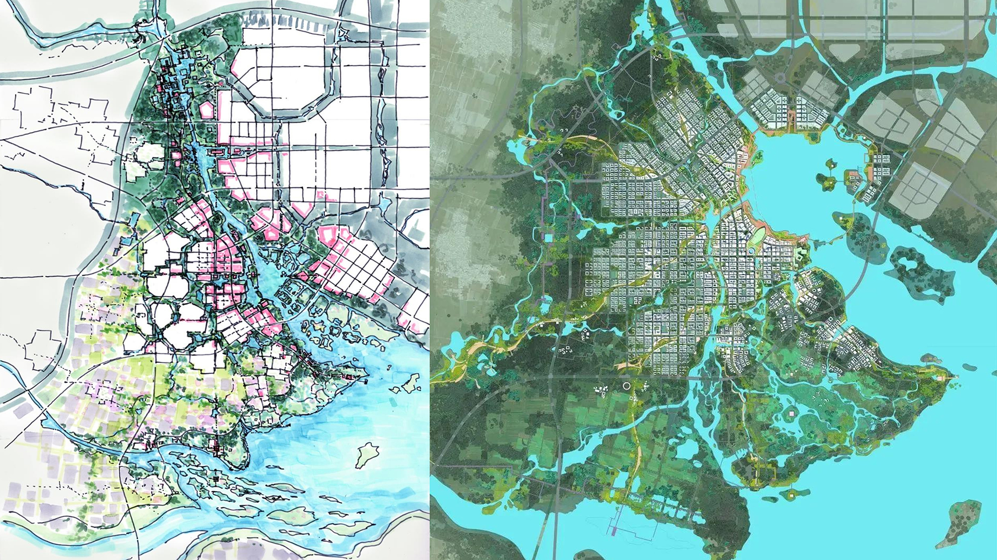
Figure 25. Xiong'an Zhaili Area Urban Design Sketch and Master Plan
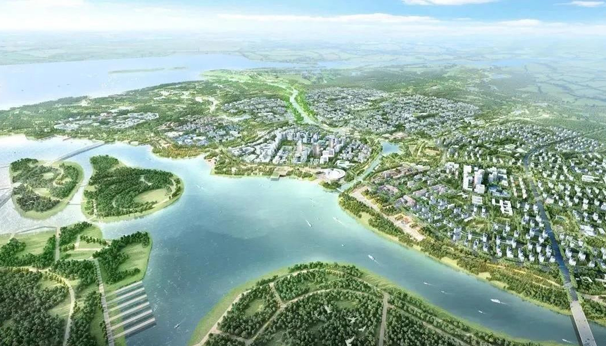
Figure 26. Overall effect of the urban design plan for the Zhaili area in Xiongan
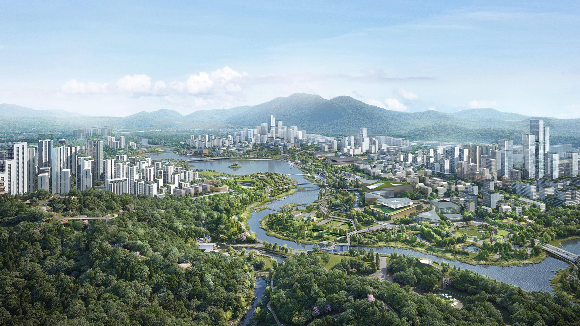
Figure 27. Yanzi Lake Area Urban Design Scheme
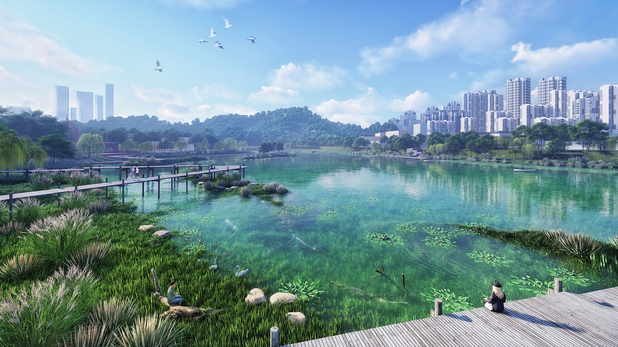
Figure 28. Yanzi Lake Area Urban Design Scheme
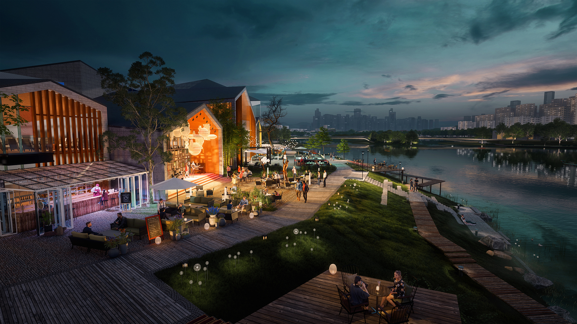
Figure 29. Nightlife at the water's edge
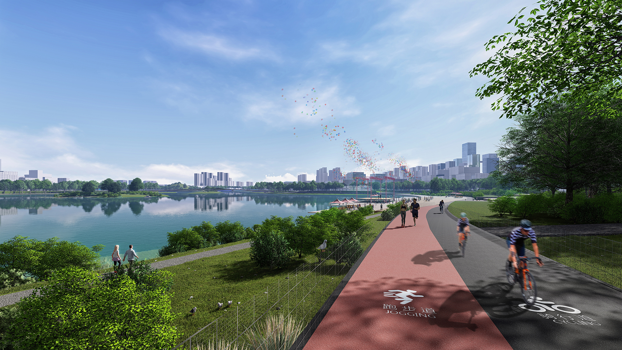
Figure 29. Nightlife at the water's edge